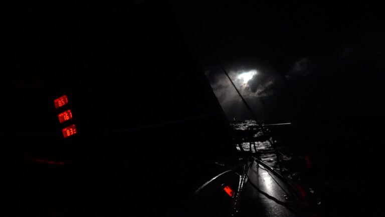
When Vestas Wind ran aground on Cargados Carajos Shoal on the night of November 29, 2014, during the last Volvo Ocean Race, it came as a complete surprise to everyone onboard. How could a vessel equipped with the most modern electronics and a professional navigator fail to navigate around a reef some 25 nautical miles in length that was shown on all paper charts, of every scale, covering the West Indian Ocean?
The skipper and navigator believed there was no risk of a collision, because they had examined their anticipated route and saw no obstructions. They did anticipate passing a “seamount” with about 120ft of water over it where they expected a change in sea state. Their confidence was based on having viewed the route on one of the vessel’s two laptops running charts that did not show that there was a landmass in their path when viewed at medium zoom levels. However, at larger-scale zoom levels the shoal was depicted correctly as a landmass and a hazard to navigation.
Many of the current PC-based navigation systems have tools that allow navigators to highlight dangerous objects by placing an electronic “fence” around them. They also can “look ahead” of a vessel’s current position and determine if the water depth is less than a minimum “safe” depth. Neither of these tools were in use at the time of the Team Vestas grounding.
The failure of the crew to understand its dangerous route has inevitably led to the conclusion that they would not have run into the reef had they relied on paper charts. But it’s important to note that these boats can sail 550 miles in a day, are very wet belowdecks, and don’t have any place onboard that is suitable for the traditional use of paper charts. That said, paper charts do have much to offer, even today, aboard less extreme vessel, such as allowing daily overviews of a vessel’s progress. Paper charts can be easily and routinely used for this purpose even if there’s no space for a traditional chart table. Of course, in the event of an electrical failure, paper charts can also be used for plotting and laying out courses on an improvised nav desk, such as a floorboard, galley or engine box space.
It was lucky this accident did not result in serious injuries or loss of life. It was avoidable and costly, yet has caused a vigorous discussion about the best practices of seamanship and the limitations of all forms of navigation information. There can be no doubt that we will all be better navigators as a result.