Photos By Christopher Birch
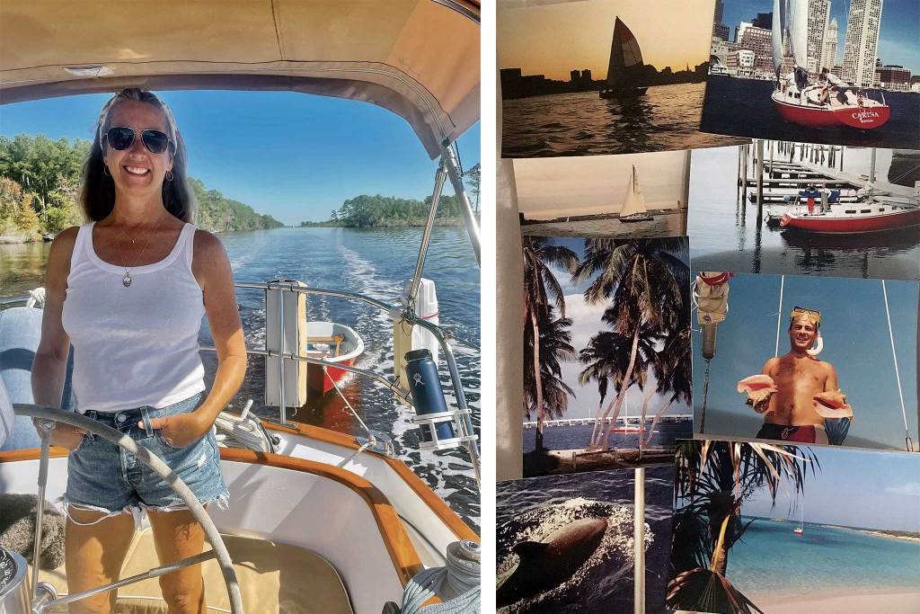
The first time I ran “The Ditch” from Norfolk to Miami, I was young, unemployed, nearly broke, and determined to sail south for the winter aboard Carina, my beloved 1971 Tartan 30. I enlisted my friend Matt as crew, and together we sailed out of Boston on November 1, 1993 high on adventure and unfazed by our excruciatingly tight budget. Wet with sea spray under deeply reefed sails, we heaved and rolled our way south and west, slowly leaving New York and then New Jersey abaft the beam to starboard. The thrashing we endured at the mouth of the Chesapeake was profoundly arduous, and finding refuge on the placid inland route south of Norfolk felt like a gift. By Christmas, we were in Miami and bound for the Bahamas.
The Intracoastal Waterway, often referred to as the “ICW” or “The Ditch,” runs along the Gulf and East coasts of the United States and comprises various bays, rivers, and sounds connected by man-made canals. It was designed and built by the Army Corps of Engineers with the goal of enabling commerce and protecting commercial ships from German U-boat attacks. A few barges still ply the route but nowadays The Ditch is primarily used by recreational boaters taking refuge from ocean winds and waves, not German U-boats.
Much of the ICW is shallow, cluttered with low bridges, and of limited use for navigation—think Texas and New Jersey. Other sections of the ICW were never fully fleshed out—think Rhode Island, much of Massachusetts, and Maine. (Maybe fog was supposed to be the solution for those U-boats downeast.) The Chesapeake & Delaware Canal, the Cape Cod Canal, and the Annisquam River are all portions of the route, but when sailors talk about making like a snowbird and sailing south via the ICW, the section they are almost certainly referring to is the uninterrupted 1,095-mile stretch from Norfolk to Miami. That’s 1,095 statute miles, not nautical miles. Distances along the ICW are all measured in statute miles, as they would be on the rivers and waterways in the heartland of America. Just one of the little things that gives the route that rollin’-down-the-river Huck Finn feel.
Huck and Jim would have felt right at home aboard Carina; we ran our boat a lot like they ran their raft. Chartplotters and smartphones hadn’t been invented back in 1993, and the lack of screens lent a timeless feel to the experience of navigating the waterway. We did have a functioning diesel engine, but to save money on fuel, we hardly ever used it. On the ICW this set us apart as strange; almost every sailboat runs an engine nearly constantly to get down the waterway. That was true in 1993, and it is still true today. Matt and I found that with a little patience, we could usually get by without. We sailed the narrow bits, we sailed through opening bridges, we even sailed in and out of the Great Bridge Lock, much to that lock keeper’s dismay. When the wind was fair we often sailed on well past dark, sometimes all the way till morning—another habit that set us apart as unusual travelers on The Ditch.
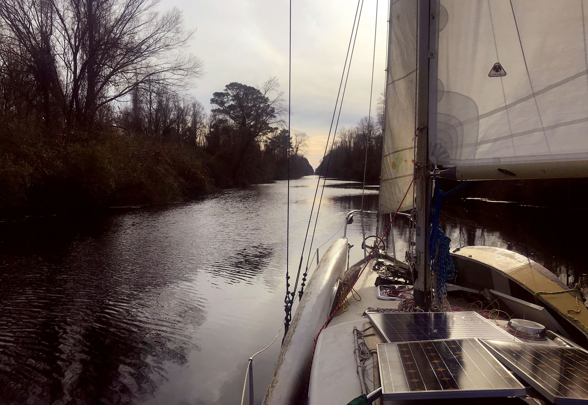
The inland waterway route is not the shortest distance between any two points along the way. The channel is constantly snaking, adding on the miles as it refuses to straight-line. The deep-water path is narrow and requires vigilance at the helm. Trees along the shore greatly diminish the wind in places, often making for less-than-ideal sailing. But when a storm is blowing out in the Atlantic, it sure is nice to make smooth progress on the protected inland alternative route.
Breaks in the barrier beach along the way allow a crew to head out for some ocean sailing when the weather is fair. Unfortunately, the navigable inlets are awkwardly spaced, and transiting them adds current scheduling complexities and miles. It’s rarely efficient to opt for the ocean sailing unless you have a weather window that permits you to make an overnight hop of at least 150 miles between inlets. With our late-in-the-season start south, Matt and I didn’t get those sorts of weather windows, and we puttered along on the inside for most of the way instead.
Sailing through Virginia, I felt compelled to reflect on my limited exposure to life below the Mason-Dixon Line. Matt is a Louisiana native, so I asked him what I needed to know about the South. He thought for a minute and then told me, “When they ask, ‘Y’all want grits with that?’ you say, ‘Yes.’ ”
Okay. I was ready.
The seasons advanced faster than we did, and Matt and I were frozen until we reached the Florida border. Those Carolinas can be surprisingly cold as November turns to December. The ICW protects sailors from autumnal storms on the Atlantic, but it fails to address the frigid temperatures that sweep down from Canada that time of year. We felt more like Arctic explorers than like Caribbean pirates as we tacked and jibed our way forward in the Southland. I remember a particularly brutal stretch in the Alligator River where I told Matt if we ever did this again, we would agree to depart earlier in the season. It would have been so easy to shove off in September instead of November. I’m not sure why we waited. Insurance companies blather on about avoiding hurricane risk, and I think that’s bunk. Hurricanes come to New England too, after all. The best way for a coastal sailor to contend with an approaching hurricane is to move out of its way, and there are plenty of good inland hurricane holes all along the East Coast of the United States in which to hide. Insurance company actuary tables be damned; the threat of hurricanes is not sufficient reason for a sailor to subject themselves to the cold and danger of late fall weather along the East Coast.
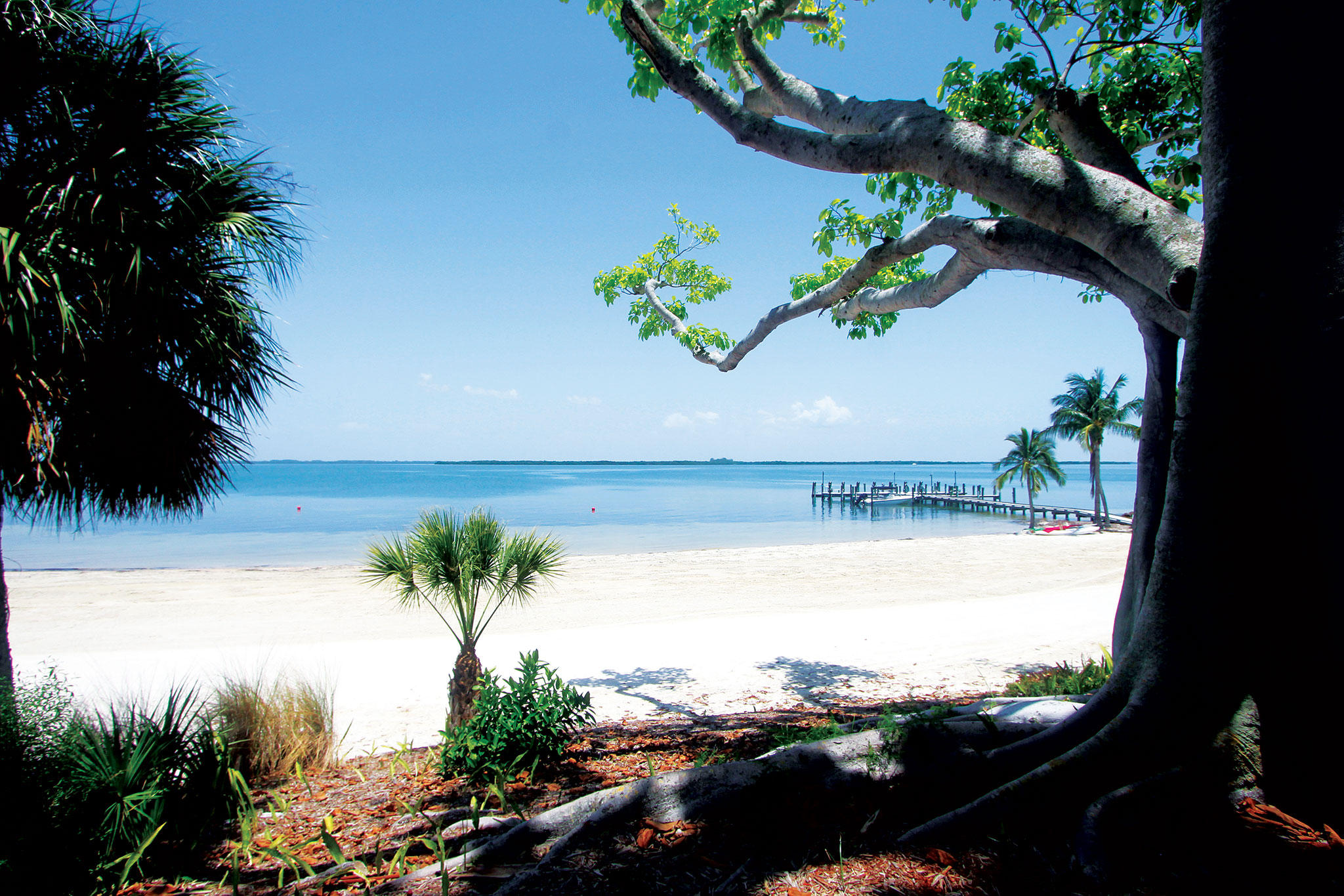
Most of the country that we passed along the ICW was new to me. Our meandering path through the tall grasses in the low country of South Carolina and Georgia was so beguiling that I was tempted to stop the trip and just stay there for the winter. The urban spots dazzled too. Anchorages in the hearts of Charleston and Miami allowed us to get ashore and walk the streets of those impressive places. In Savannah, a friendly crew on a tugboat welcomed us to tie alongside them on the riverfront of that fair city and a memorable evening unspooled from there. New England was far astern, and everything from the flora and fauna to the local boats and regional architecture to the accents and attitudes was a welcome novelty to my young eyes and ears.
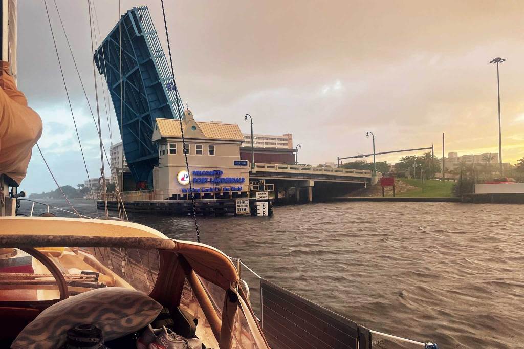
Bridges have always been a big part of the ICW experience too. One hundred thirty of them span the stretch between Norfolk and Miami. Some are fixed bridges that you can sail right under without slowing down—as long as your air draft is less than 64 feet. Our mast height above water on Carina was only 45 feet, so none of those bridges were a concern for us. (There is one 55-foot bridge just north of Miami that looks a lot lower, but still no problem for us.) Other draw and swing bridges open to let boats pass through—some on a schedule and others on demand. Negotiating with bridge tenders is a constant part of life on The Ditch. “You’re gonna have to pedal a little faster there, Capt., or I’m gonna close my bridge on your wimpy sailboat,” was one memorable radio exchange from somewhere in Florida. The prudent mariner will motor through those bridges with great haste instead of sailing through them at two-and-a-half knots, as Matt and I were known to have done in 1993.
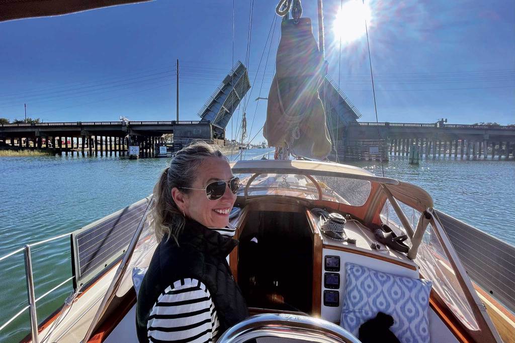
The American taxpayer shells out a lot of money for the operation of all the bridges and the never-ending dredging work the waterway requires, yet there is no charge to transit the ICW. The American motorist also spends a fair bit of time stuck in traffic, staring at open drawbridges while they wait for us yachtsmen and yachtswomen to saunter past. I’m not sure how the American public reconciles all of this, but that’s the way it is. Freedom of navigation is deeply ingrained in the founding principles of our Constitution, and it doesn’t seem to matter if the ethics of it all always make a lot of sense. My federally protected freedom of navigation also allows me to anchor pretty much anywhere I want, also at no charge. This aspect of freedom of navigation is a big win for me at no cost to America. Good anchorages are plentiful between Norfolk and Miami, and Matt and I never once paid to spend a night in a marina.
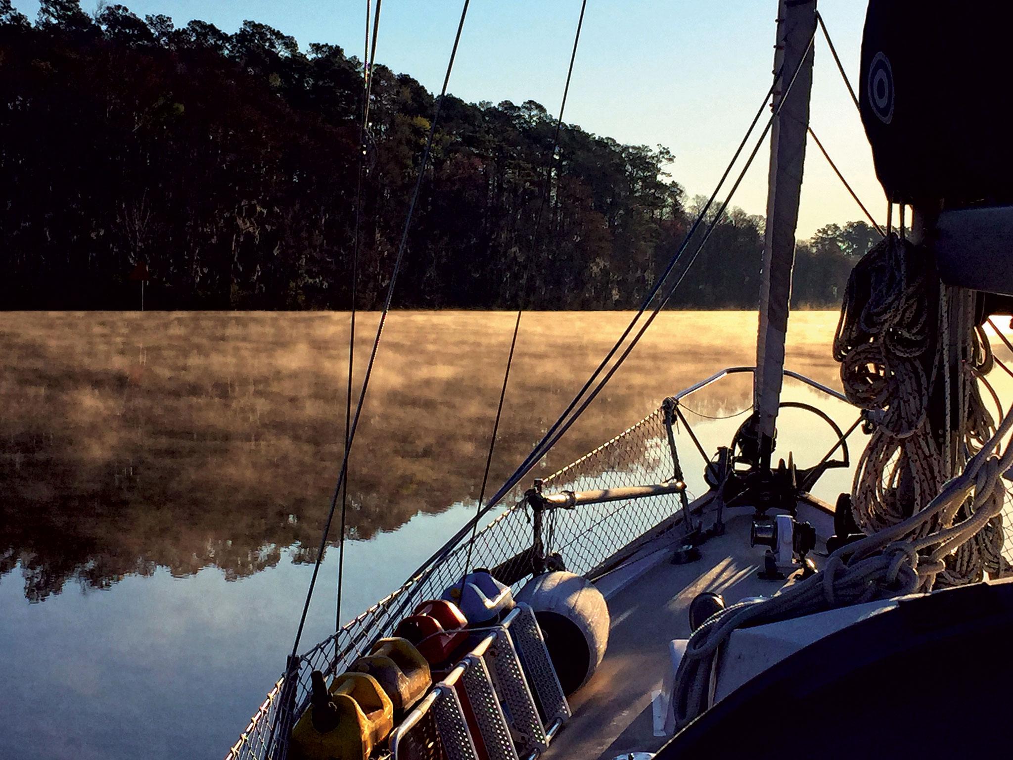
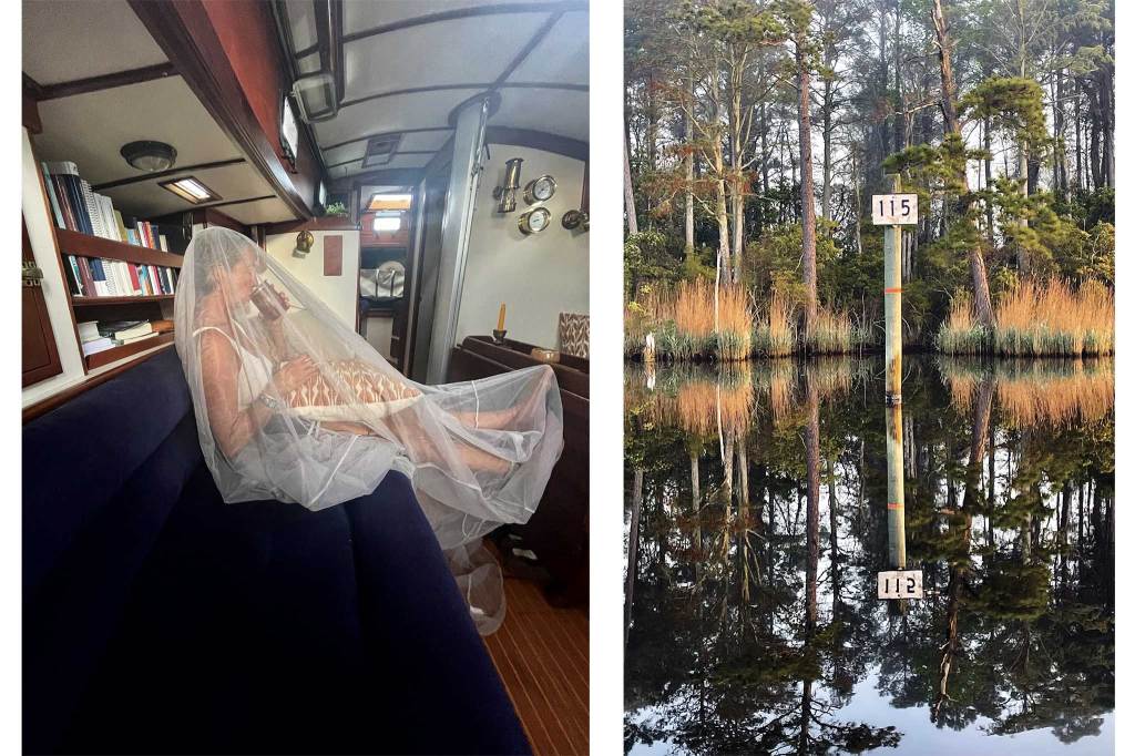
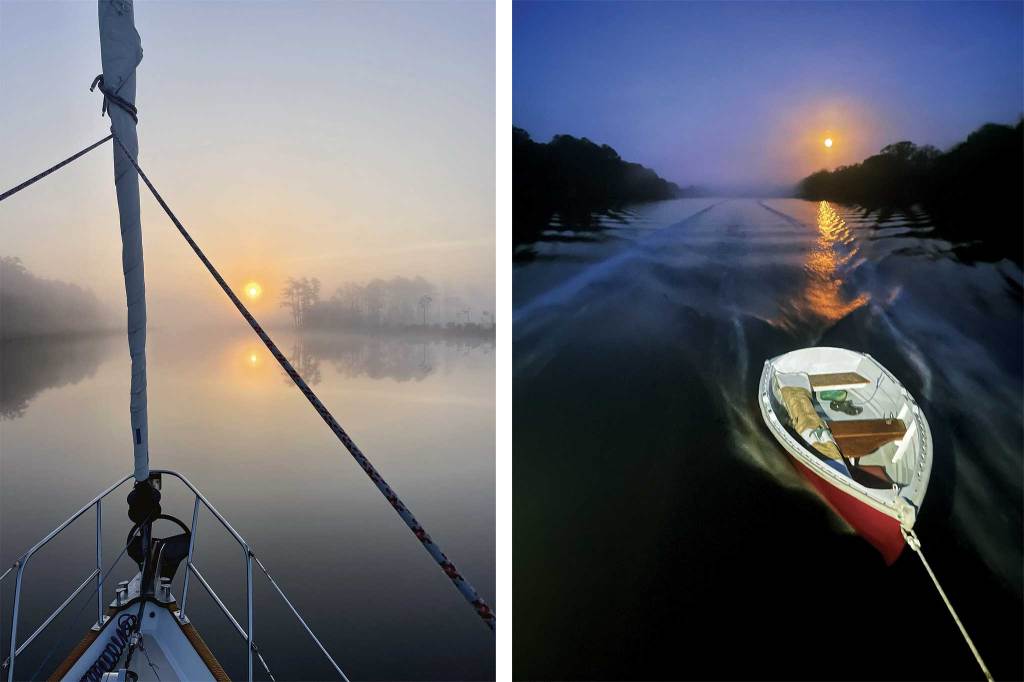
We anchored surrounded by marshes, and we anchored surrounded by woods. We anchored in cities, suburbs, and wildly rural places where we were warned about poisonous snakes and wild boars. We anchored near others, and we anchored in isolation. We anchored in high wind and with no wind, with bugs and without. Always a step closer to Miami and a step further away from a snowy winter. Once the anchor was set, Carina always knew it was time for her to rest. Her graceful slumber was infectious and her crew had little choice but to succumb to her mandate for respite. I’d take some bearings from shore with my hand-bearing compass and then set our anchor light in the foretriangle. Matt would get out his guitar and play Rosanne Cash songs while we waited for the water to boil for our nightly beans and rice.
2022: Skipping Winter Again
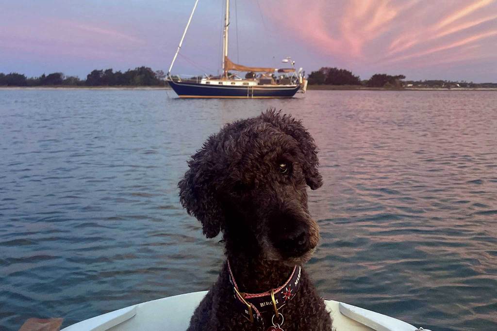
After 29 years filled with building a career and family in Boston, my wife, Alex, and I decided it was once again time to play the fun trick of skipping winter. This time, we were sailing on a 36-foot Morris Justine named Sundance. Huck and Jim would have been dazzled by all her features. We had screens galore, smartphones, a tablet, a chartplotter, and all sorts of other digital displays. We had an engine that we actually used, an oven for cooking, a refrigerator, and a delightful canine companion named Bill. We were a little more willing to burn diesel fuel this time around; we even motored in and out of The Great Bridge Lock. Sadly, the lock-keeper wasn’t wildly impressed with this courtesy and just gazed past me. Somewhere along the way my rebellious streak had clearly withered and died. Or had I just learned to make better decisions? Either way, I had become just another snowbird with diesel to burn.
A long trip down any waterway provides plenty of time to think about the big picture, and some introspection is inevitable.
My career in boats gave me reason to navigate parts of the ICW several times in the intervening years, but this 2022 trip was the first time I’d been back to make a complete run from Norfolk to Miami since sailing it with Matt in 1993. On this repeat cruise, Alex and I dropped lines in Boston on September 1st and were rewarded with pleasant weather the whole way south. The congenial climate offered several good windows for ocean sailing on the other side of the barrier beach, but our need to walk the dog ashore twice a day mostly kept us on the inside once south of Norfolk, granting me the opportunity to enjoy a leisurely trip down memory lane.
I was surprised by what I remembered and what I had forgotten from nearly 30 years prior. In many ways, the ICW remained unchanged since 1993. The waving marsh grasses in South Carolina and Georgia still captivated, we could still anchor in the same mud in the same bends of the same rivers, and the islands of the Bahamas still awaited us like a pot of gold at the southern end. The miraculous feat of skipping winter organically produced smiles, contentment, and community. The shared contagion of bliss on the waterway still burned as brightly in 2022 as it always had.
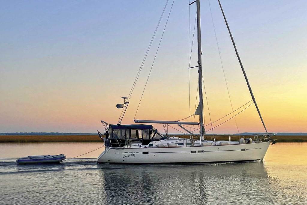
I was pleased to note that there had also been some important enhancements to the experience in intervening years. Many of the opening bridges had been replaced with fixed bridges, streamlining navigation in those sections. More importantly, the charting of the ICW had vastly improved since 1993. Shallow spots always move around as dredging struggles to keep up with incessant silting on the ICW. Back in the day, Matt and I found those shallow spots by running aground. Nowadays, a prudent navigator knows where those shallow spots are in real time and can avoid them. This is mainly true thanks to a sailor/cartographer/writer known as Bob423. Bob combines crowd-sourced information, frequent USACE hydrographic surveys, and his own sophisticated surveys to tabulate up-to-date data on the depths in the ICW from Norfolk to Miami. Bob’s ICW Cruising Guide details the known problem areas and provides links to real-time updates. (The book cover features a Canaveral rocket launch, naturally.) Best of all, Bob has partnered with Aqua Map to provide all his data in a chart plotter nav app format. During my 2022 transit, and in subsequent trips, all I’ve had to do to avoid relentless groundings in The Ditch is to pay attention to the colorful Aqua Map chart on my phone when transiting the known trouble spots—nice! Bob and his wife Ann are still cruising north and south aboard their Beneteau 423 named Fleetwing. The lucky sailor may cross wakes with them somewhere along The Ditch as I have.
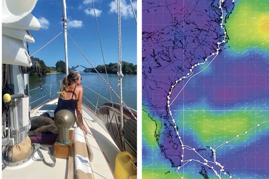
Other changes on the ICW since 1993 have been for the worse. With the advancement in digital navigation, the beloved mile markers ticking off the five-mile increments to or from Norfolk have been neglected and left to weather, wither, and waste away. Some remain, but most have been lost.
Space Shuttle launches have also been lost. Witnessing a rocket launch is sure to be an absolute highlight for a sailor lucky enough to see one as they pass by Cape Canaveral on The Ditch. Alex and I saw a cluster of Starlink satellites shoot off into space in 2022, and as awesome as that was to behold, it paled in comparison to the massive power on display at the space shuttle launch that Matt and I saw in 1993. We were way down in Miami when that shuttle went up, and it was still an astonishing sight from that distance.
When it comes to ditch-inspired introspection, brushing up against space travel will provide the kingdom moment. Sadly, space shuttle launches are a thing of the past. The tremble and roar of those mighty rocket engines have been replaced by a buzzy increase in unnecessary VHF radio banter along the ICW.
In recent years, it has become customary to discuss every overtaking situation on the VHF radio—often on CH. 16, where that conversation clearly doesn’t belong. The irony is that as soon as you exit The Ditch everyone goes back to overtaking with reckless abandon, same as it ever was. I appreciate the “Slow Pass” courtesy that has become a proud hallmark of the ICW and would love to see it expand to the wider world. I think this can best be accomplished with attention to course and speed, not the VHF radio. Perhaps I lack an adequate dose of Southern gentility, but for me, it’s tiring to converse with everyone who comes by, and I find myself yearning for some peace and quiet. More importantly, CH 16 needs to be left open for priority traffic. (It could just be that getting grumpy about VHF traffic is a sad affliction that comes with becoming a faceless, old snowbird with diesel to burn. I’ve witnessed that sailor, and I hope I’m not becoming that sailor. More introspection needed.)
There’s nothing especially challenging about sailing from Boston to Norfolk and on to Miami. You’re always just moving from one sailor’s local waters to the next. Meeting these local sailors and taking in the beauty and variety of their waters is what makes this trip memorable. The Intracoastal Waterway has always been and still is a fascinating tour through the kaleidoscope of geographies and cultures that compose America. The pleasant surprise of being offered grits with your breakfast never gets old. The thrill of spotting the first wild palm tree just south of Oriental, North Carolina is timeless. Melting away the cold grip of winter will always be liberating.
SAIL Contributing Editor Christopher Birch is the founder of Birch Marine Inc. in Boston. He and his wife, Alex, are now cruising full-time aboard their 36-foot Morris Justine. Follow their voyage at eaglesevensailing.com Also available at that website is a link to purchase Birch’s recently released book, The Four Seasons of Boat Maintenance.
This article was originally published in the October 2026 issue.